







ISA plans satellite constellations for imaging, remote sensing applications
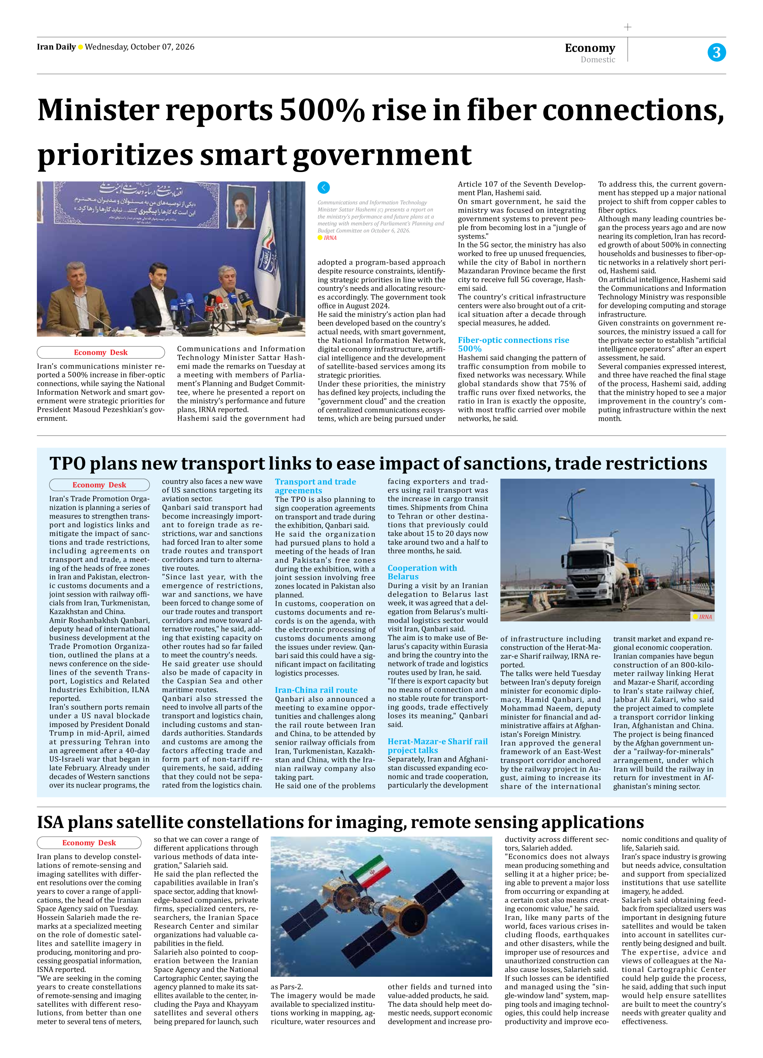
Iran plans to develop constellations of remote-sensing and imaging satellites with different resolutions over the coming years to cover a range of applications, the head of the Iranian Space Agency said on Tuesday.
Hossein Salarieh made the remarks at a specialized meeting on the role of domestic satellites and satellite imagery in producing, monitoring and processing geospatial information, ISNA reported.
"We are seeking in the coming years to create constellations of remote-sensing and imaging satellites with different resolutions, from better than one meter to several tens of meters, so that we can cover a range of different applications through various methods of data integration," Salarieh said.
He said the plan reflected the capabilities available in Iran’s space sector, adding that knowledge-based companies, private firms, specialized centers, researchers, the Iranian Space Research Center and similar organizations had valuable capabilities in the field.
Salarieh also pointed to cooperation between the Iranian Space Agency and the National Cartographic Center, saying the agency planned to make its satellites available to the center, including the Paya and Khayyam satellites and several others being prepared for launch, such as Pars-2.
The imagery would be made available to specialized institutions working in mapping, agriculture, water resources and other fields and turned into value-added products, he said.
The data should help meet domestic needs, support economic development and increase productivity across different sectors, Salarieh added.
"Economics does not always mean producing something and selling it at a higher price; being able to prevent a major loss from occurring or expanding at a certain cost also means creating economic value," he said.
Iran, like many parts of the world, faces various crises including floods, earthquakes and other disasters, while the improper use of resources and unauthorized construction can also cause losses, Salarieh said.
If such losses can be identified and managed using the "single-window land" system, mapping tools and imaging technologies, this could help increase productivity and improve economic conditions and quality of life, Salarieh said.
Iran’s space industry is growing but needs advice, consultation and support from specialized institutions that use satellite imagery, he added.
Salarieh said obtaining feedback from specialized users was important in designing future satellites and would be taken into account in satellites currently being designed and built.
The expertise, advice and views of colleagues at the National Cartographic Center could help guide the process, he said, adding that such input would help ensure satellites are built to meet the country’s needs with greater quality and effectiveness.