


Defining the historic boundaries of Batvand is crucial
The Director General of Khuzestan Province’s Cultural Heritage, Tourism, and Handicrafts announced the completion of studies aimed at defining the boundaries of the historical site of Batvand in Masjed Soleyman.
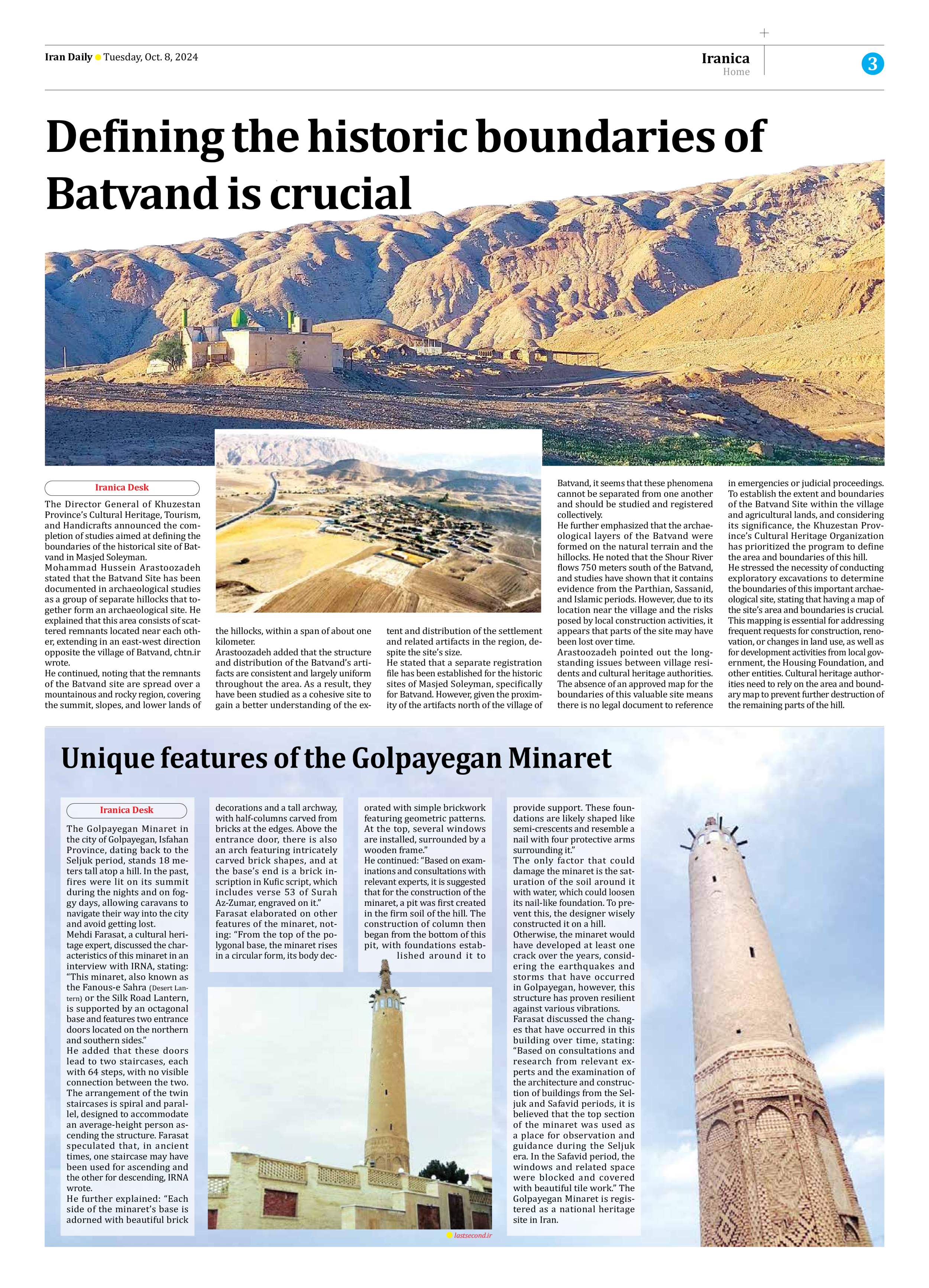
Mohammad Hussein Arastoozadeh stated that the Batvand Site has been documented in archaeological studies as a group of separate hillocks that together form an archaeological site. He explained that this area consists of scattered remnants located near each other, extending in an east-west direction opposite the village of Batvand, chtn.ir wrote.
He continued, noting that the remnants of the Batvand site are spread over a mountainous and rocky region, covering the summit, slopes, and lower lands of the hillocks, within a span of about one kilometer.
Arastoozadeh added that the structure and distribution of the Batvand’s artifacts are consistent and largely uniform throughout the area. As a result, they have been studied as a cohesive site to gain a better understanding of the extent and distribution of the settlement and related artifacts in the region, despite the site’s size.
He stated that a separate registration file has been established for the historic sites of Masjed Soleyman, specifically for Batvand. However, given the proximity of the artifacts north of the village of Batvand, it seems that these phenomena cannot be separated from one another and should be studied and registered collectively.
He further emphasized that the archaeological layers of the Batvand were formed on the natural terrain and the hillocks. He noted that the Shour River flows 750 meters south of the Batvand, and studies have shown that it contains evidence from the Parthian, Sassanid, and Islamic periods. However, due to its location near the village and the risks posed by local construction activities, it appears that parts of the site may have been lost over time.
Arastoozadeh pointed out the longstanding issues between village residents and cultural heritage authorities. The absence of an approved map for the boundaries of this valuable site means there is no legal document to reference in emergencies or judicial proceedings. To establish the extent and boundaries of the Batvand Site within the village and agricultural lands, and considering its significance, the Khuzestan Province’s Cultural Heritage Organization has prioritized the program to define the area and boundaries of this hill.
He stressed the necessity of conducting exploratory excavations to determine the boundaries of this important archaeological site, stating that having a map of the site’s area and boundaries is crucial. This mapping is essential for addressing frequent requests for construction, renovation, or changes in land use, as well as for development activities from local government, the Housing Foundation, and other entities. Cultural heritage authorities need to rely on the area and boundary map to prevent further destruction of the remaining parts of the hill.