


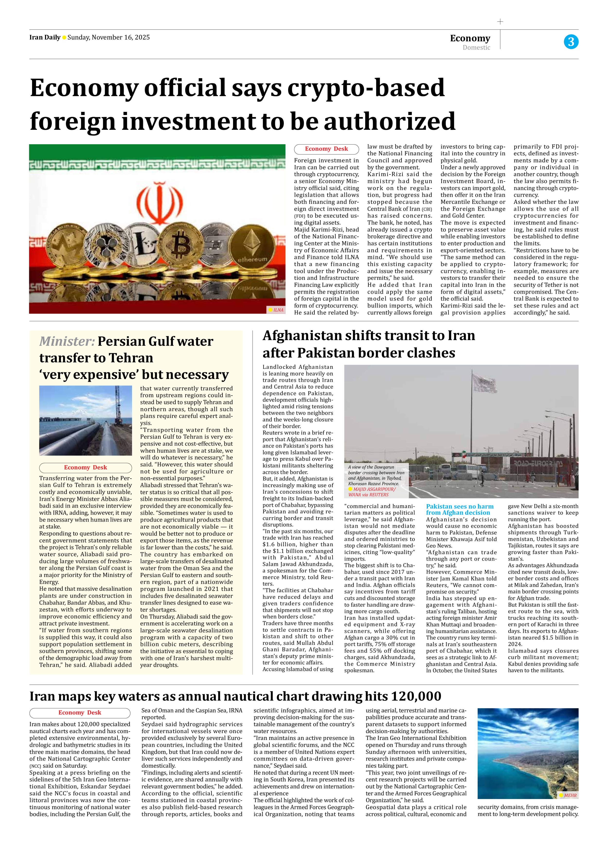


Iran maps key waters as annual nautical chart drawing hits 120,000
Iran makes about 120,000 specialized nautical charts each year and has completed extensive environmental, hydrologic and bathymetric studies in its three main marine domains, the head of the National Cartographic Center (NCC) said on Saturday.
Speaking at a press briefing on the sidelines of the 5th Iran Geo International Exhibition, Eskandar Seydaei said the NCC’s focus in coastal and littoral provinces was now the continuous monitoring of national water bodies, including the Persian Gulf, the Sea of Oman and the Caspian Sea, IRNA reported.
Seydaei said hydrographic services for international vessels were once provided exclusively by several European countries, including the United Kingdom, but that Iran could now deliver such services independently and domestically.
“Findings, including alerts and scientific evidence, are shared annually with relevant government bodies,” he added.
According to the official, scientific teams stationed in coastal provinces also publish field-based research through reports, articles, books and scientific infographics, aimed at improving decision-making for the sustainable management of the country’s water resources.
“Iran maintains an active presence in global scientific forums, and the NCC is a member of United Nations expert committees on data-driven governance,” Seydaei said.
He noted that during a recent UN meeting in South Korea, Iran presented its achievements and drew on international experience
The official highlighted the work of colleagues in the Armed Forces Geographical Organization, noting that teams using aerial, terrestrial and marine capabilities produce accurate and transparent datasets to support informed decision-making by authorities.
The Iran Geo International Exhibition opened on Thursday and runs through Sunday afternoon with universities, research institutes and private companies taking part.
“This year, two joint unveilings of recent research projects will be carried out by the National Cartographic Center and the Armed Forces Geographical Organization,” he said.
Geospatial data plays a critical role across political, cultural, economic and security domains, from crisis management to long-term development policy.