


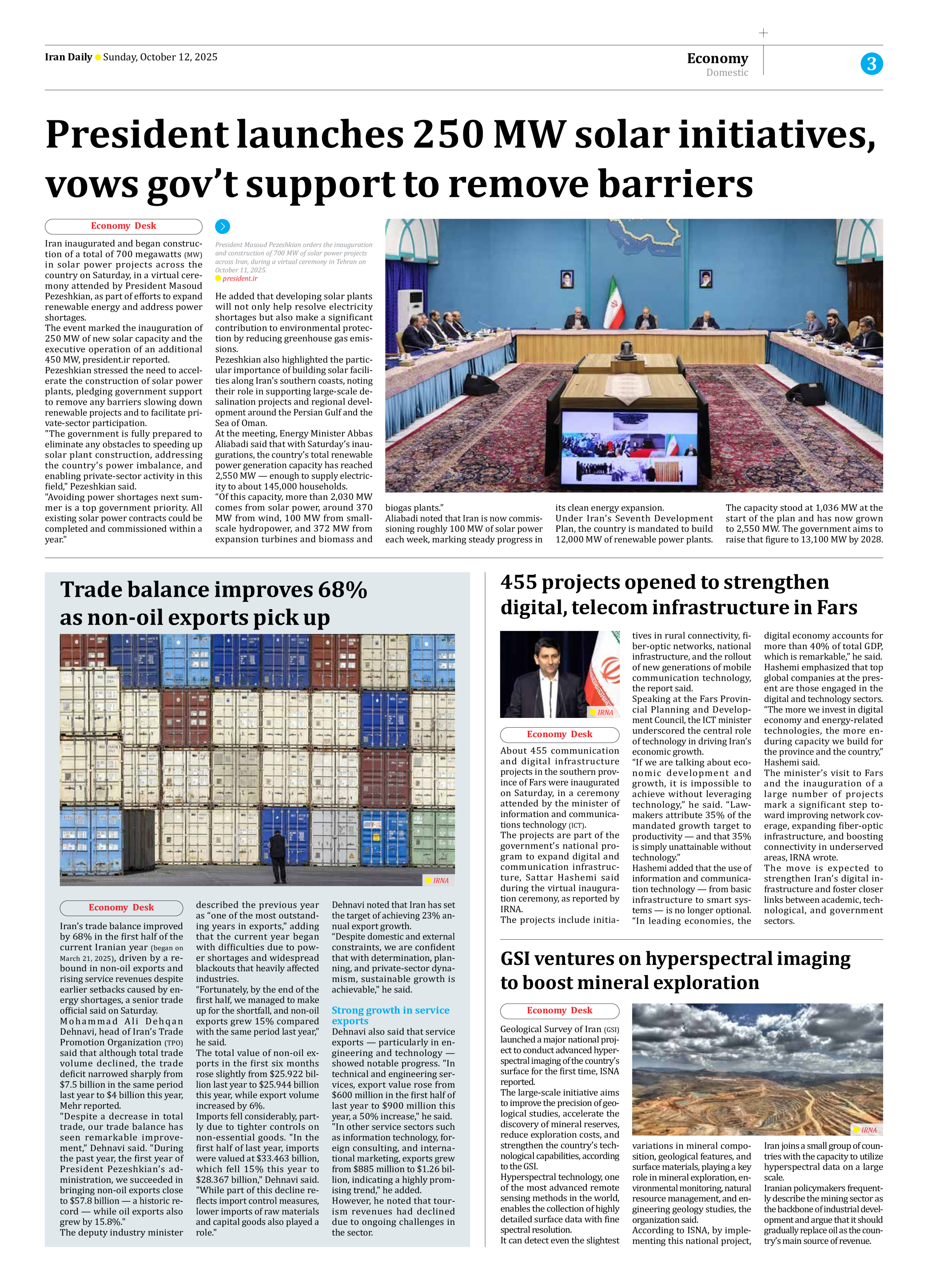


GSI ventures on hyperspectral imaging to boost mineral exploration
Geological Survey of Iran (GSI) launched a major national project to conduct advanced hyperspectral imaging of the country’s surface for the first time, ISNA reported.
The large-scale initiative aims to improve the precision of geological studies, accelerate the discovery of mineral reserves, reduce exploration costs, and strengthen the country’s technological capabilities, according to the GSI.
Hyperspectral technology, one of the most advanced remote sensing methods in the world, enables the collection of highly detailed surface data with fine spectral resolution.
It can detect even the slightest variations in mineral composition, geological features, and surface materials, playing a key role in mineral exploration, environmental monitoring, natural resource management, and engineering geology studies, the organization said.
According to ISNA, by implementing this national project, Iran joins a small group of countries with the capacity to utilize hyperspectral data on a large scale.
Iranian policymakers frequently describe the mining sector as the backbone of industrial development and argue that it should gradually replace oil as the country’s main source of revenue.