


Copy in clipboard...
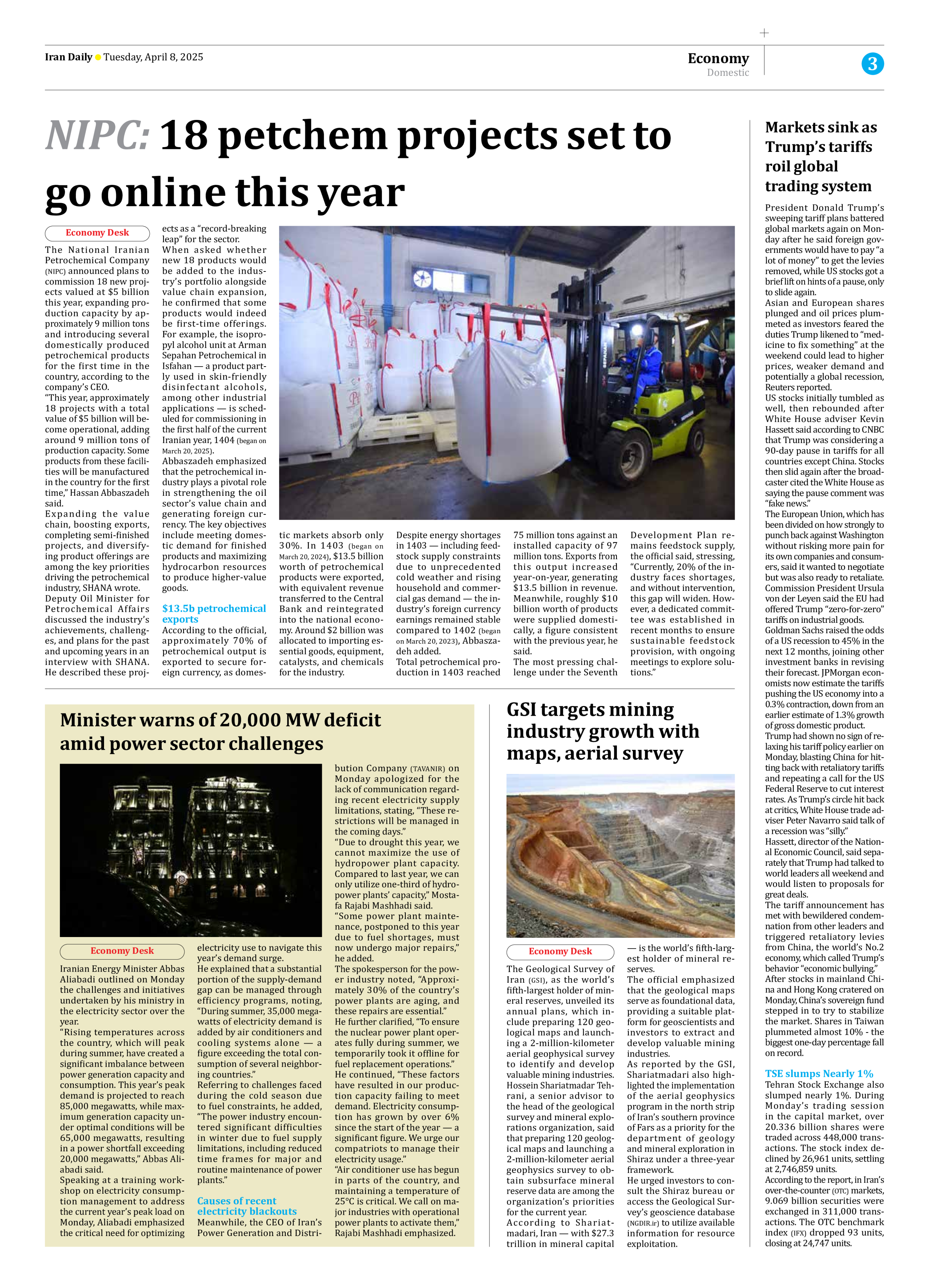
GSI targets mining industry growth with maps, aerial survey
Hossein Shariatmadar Tehrani, a senior advisor to the head of the geological survey and mineral explorations organization, said that preparing 120 geological maps and launching a 2-million-kilometer aerial geophysics survey to obtain subsurface mineral reserve data are among the organization’s priorities for the current year.
According to Shariatmadari, Iran — with $27.3 trillion in mineral capital — is the world’s fifth-largest holder of mineral reserves.
The official emphasized that the geological maps serve as foundational data, providing a suitable platform for geoscientists and investors to extract and develop valuable mining industries.
As reported by the GSI, Shariatmadari also highlighted the implementation of the aerial geophysics program in the north strip of Iran’s southern province of Fars as a priority for the department of geology and mineral exploration in Shiraz under a three-year framework.
He urged investors to consult the Shiraz bureau or access the Geological Survey’s geoscience database (NGDIR.ir) to utilize available information for resource exploitation.