


Rich history and trade of Kerman in 10th century
In the 10th century, the towns of Kerman differed little from those of the rest of Persia and Central Asia. Most were surrounded by a wall with four gates; only the capital, Sirjan, is said to have possessed eight gates.
Also noteworthy is that because of the lack of timber, the dwellings had the form of domelike structures. A similar type of structure exists in Kerman even today; the historian Fedor Tumanskii, who was there in 1894, says about the village of Nigar: “A great number of homesteads have domelike roofs, which suggests a lack of construction timber.”
After Sirjan, the most important city was Bam, the industrial center of the province; the cotton fabrics manufactured here were exported all over the Islamic world, including Egypt. These fabrics were remarkable for their durability; one set of clothes made from this cloth could be worn for from five to twenty years. The manufacture of Kerman shawls, famous to this day, became concentrated in Bam. At that time, according to Ibn Hawqal, the price of one shawl could be as much as 30 dinars, that is, 150 rubles.
At present, besides the Kerman shawls, the Kerman carpets are especially famous. The 10th-century geographers do not mention them, but this art of weaving already existed in the fourteenth century under Timur; the master craftsmen of Fars and Kerman supplied silk rugs for the Friday mosque built by Timur in Samarqand, now known by the name of Bibi Khanim.
In the northern part of Kerman, in Kubanan, according to Yaqut and Marco Polo, was concentrated the production of zinc oxide or tutty; this was exported from Kerman to other countries as a medicine for eye ailments.
Of course, the Iranians penetrated into the southern part of Kerman, the so-called “warm lands” later than they did into the northern part; here the autochthonous population has to this day partly retained its distinctiveness from the Iranian conquerors. In the geographical sense, these parts have not yet been fully explored; even the question of where the interior basins end and where that of the Indian Ocean begins has not been adequately answered.
The district of Jiroft is watered by the rivulet Khalil Rud (some travelers call it the Khaliri). Wilhelm Tomaschek (1841-1901), a Czech-Austrian geographer and orientalist, refutes the assertion of E. A. Floyer, an early nineteenth-century traveler, that this rivulet flows into the sea, and he suggests that it disappears in the sands; yet in 1894, Tumanskii again heard that it flows into the sea.
Jiroft was separated from the northeastern districts of Kerman by the mountains of Barez, now Jebal Barez. The population of these mountains adopted Islam only in ‘Abbasid times; and only under the Saffarids, at the close of the ninth century, did it actually submit to Muslim rulers.
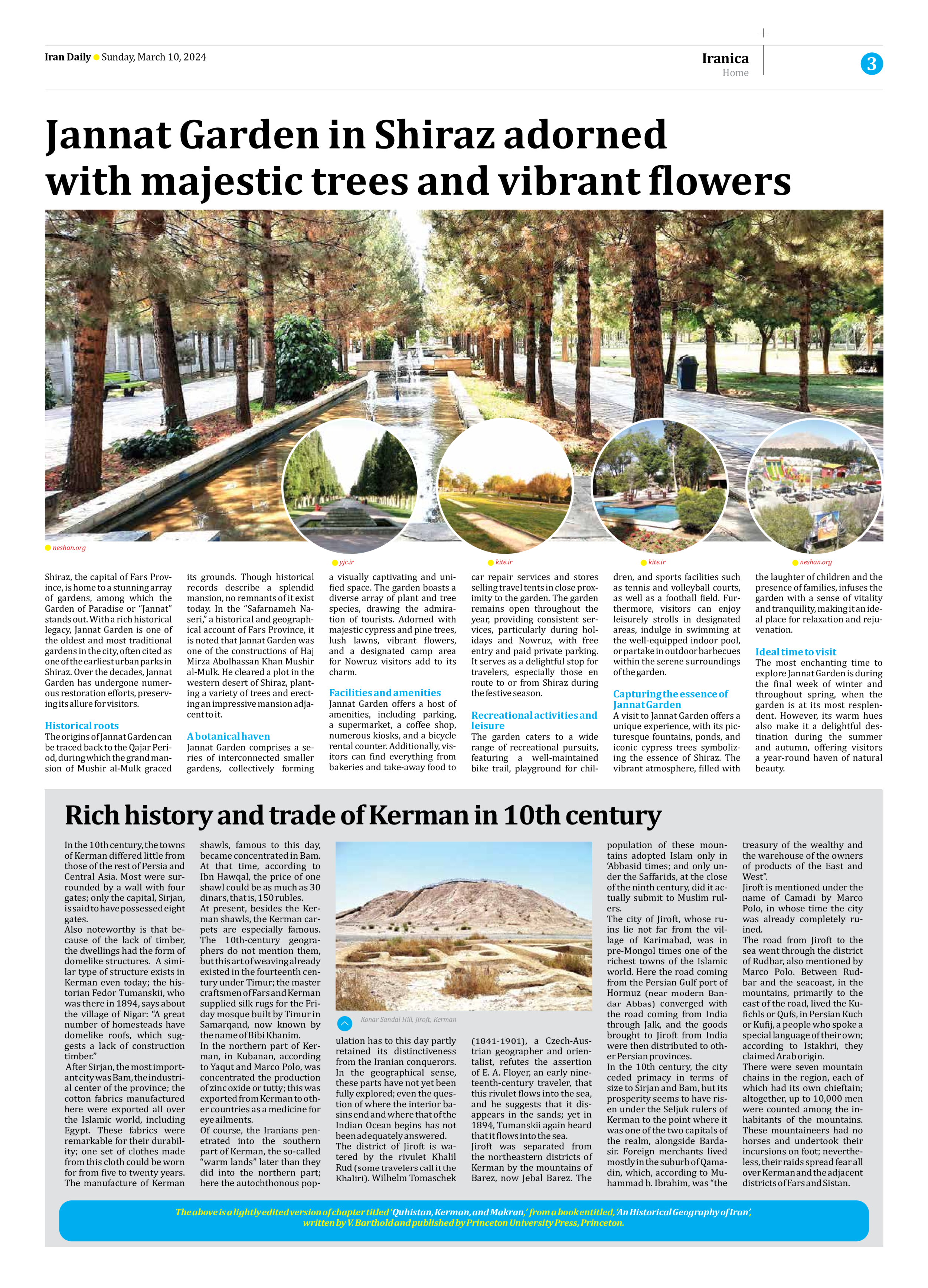
The city of Jiroft, whose ruins lie not far from the village of Karimabad, was in pre-Mongol times one of the richest towns of the Islamic world. Here the road coming from the Persian Gulf port of Hormuz (near modern Bandar Abbas) converged with the road coming from India through Jalk, and the goods brought to Jiroft from India were then distributed to other Persian provinces.
In the 10th century, the city ceded primacy in terms of size to Sirjan and Bam, but its prosperity seems to have risen under the Seljuk rulers of Kerman to the point where it was one of the two capitals of the realm, alongside Bardasir. Foreign merchants lived mostly in the suburb of Qamadin, which, according to Muhammad b. Ibrahim, was “the treasury of the wealthy and the warehouse of the owners of products of the East and West”.
Jiroft is mentioned under the name of Camadi by Marco Polo, in whose time the city was already completely ruined.
The road from Jiroft to the sea went through the district of Rudbar, also mentioned by Marco Polo. Between Rudbar and the seacoast, in the mountains, primarily to the east of the road, lived the Kufichls or Qufs, in Persian Kuch or Kufij, a people who spoke a special language of their own; according to Istakhri, they claimed Arab origin.
There were seven mountain chains in the region, each of which had its own chieftain; altogether, up to 10,000 men were counted among the inhabitants of the mountains. These mountaineers had no horses and undertook their incursions on foot; nevertheless, their raids spread fear all over Kerman and the adjacent districts of Fars and Sistan.
The above is a lightly edited version of chapter titled ‘Quhistan, Kerman, and Makran,’ from a book entitled, ‘An Historical Geography of Iran’,
written by V. Barthold and published by Princeton University Press, Princeton.