Ancient road from Hamedan to Rey: Traversing history and culture
The ancient road from Hamedan to Rey (that is, from Ekbatana to Raga), coincided with the present road and passed through Zarand; the Arab geographers write about a roundabout way, via the town of Saveh.
The shortest route from Hamedan to Rey is reckoned to measure 49 farsakhs. Although this road crosses some mountains, no single pass presents serious obstacles to pack transport except for the 50 versts-long section between Kushkan and Mazdakan, which is sometimes blocked by snowdrifts, even to wheeled transport.
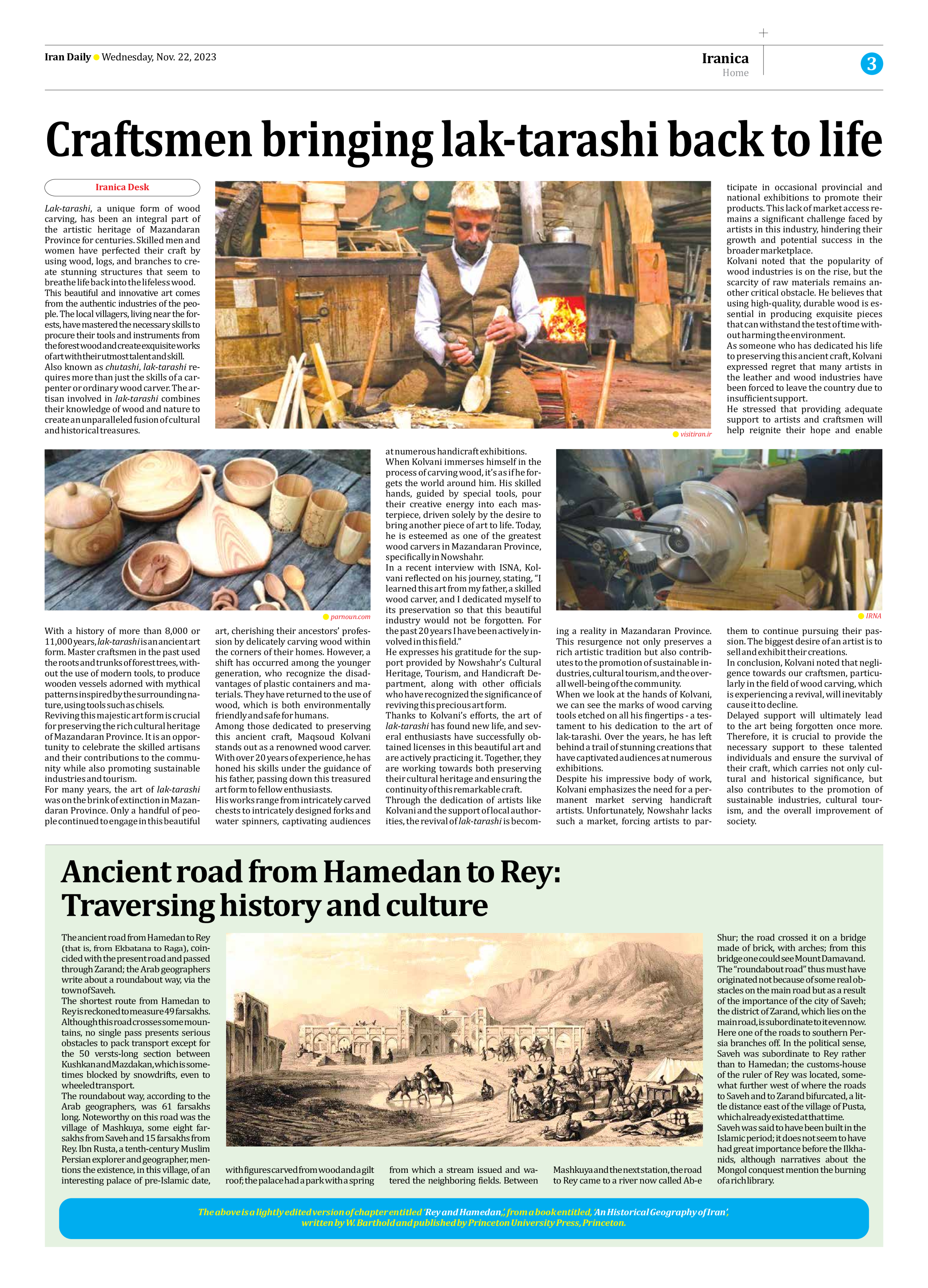
The roundabout way, according to the Arab geographers, was 61 farsakhs long. Noteworthy on this road was the village of Mashkuya, some eight farsakhs from Saveh and 15 farsakhs from Rey. Ibn Rusta, a tenth-century Muslim Persian explorer and geographer, mentions the existence, in this village, of an interesting palace of pre-Islamic date, with figures carved from wood and a gilt roof; the palace had a park with a spring from which a stream issued and watered the neighboring fields. Between Mashkuya and the next station, the road to Rey came to a river now called Ab-e Shur; the road crossed it on a bridge made of brick, with arches; from this bridge one could see Mount Damavand.
The “roundabout road” thus must have originated not because of some real obstacles on the main road but as a result of the importance of the city of Saveh; the district of Zarand, which lies on the main road, is subordinate to it even now.
Here one of the roads to southern Persia branches off. In the political sense, Saveh was subordinate to Rey rather than to Hamedan; the customs-house of the ruler of Rey was located, somewhat further west of where the roads to Saveh and to Zarand bifurcated, a little distance east of the village of Pusta, which already existed at that time.
Saveh was said to have been built in the Islamic period; it does not seem to have had great importance before the Ilkhanids, although narratives about the Mongol conquest mention the burning of a rich library.
The above is a lightly edited version of chapter entitled ‘Rey and Hamedan,’, from a book entitled, ‘An Historical Geography of Iran’,
written by W. Barthold and published by Princeton University Press, Princeton.


