


ISA: Khayyam satellite starts monitoring, mapping land use changes
The spokesman for the Iranian Space Agency (ISA) said the country’s Khayyam satellite has started remote sensing for monitoring and mapping land use changes.
Hossein Daliriyan said on Saturday that the ISA and the Information Technology Organization of Iran (ITO) are exploring legal channels in order to prepare and present the first batch of satellite images to judicial authorities combating land expropriation, Press TV reported.
He said a memorandum of understanding has already been signed between ISA and ITO after the latter requested more accurate data and observation of land surface by means of the satellite to resolve legal disputes between ordinary citizens and state bodies.
While data are being collected and analyzed under the agreement, the two organizations are exploring the necessary legal channels so as to arrive at favorable goals and provide the first batch of satellite images to help deal with various cases of land grab and monitor land use changes.
“We are ready to offer the necessary data to other Iranian state agencies and help them solve problems in various fields, including environmental monitoring, water resources, soil erosion and land subsidence,” Daliriyan added.
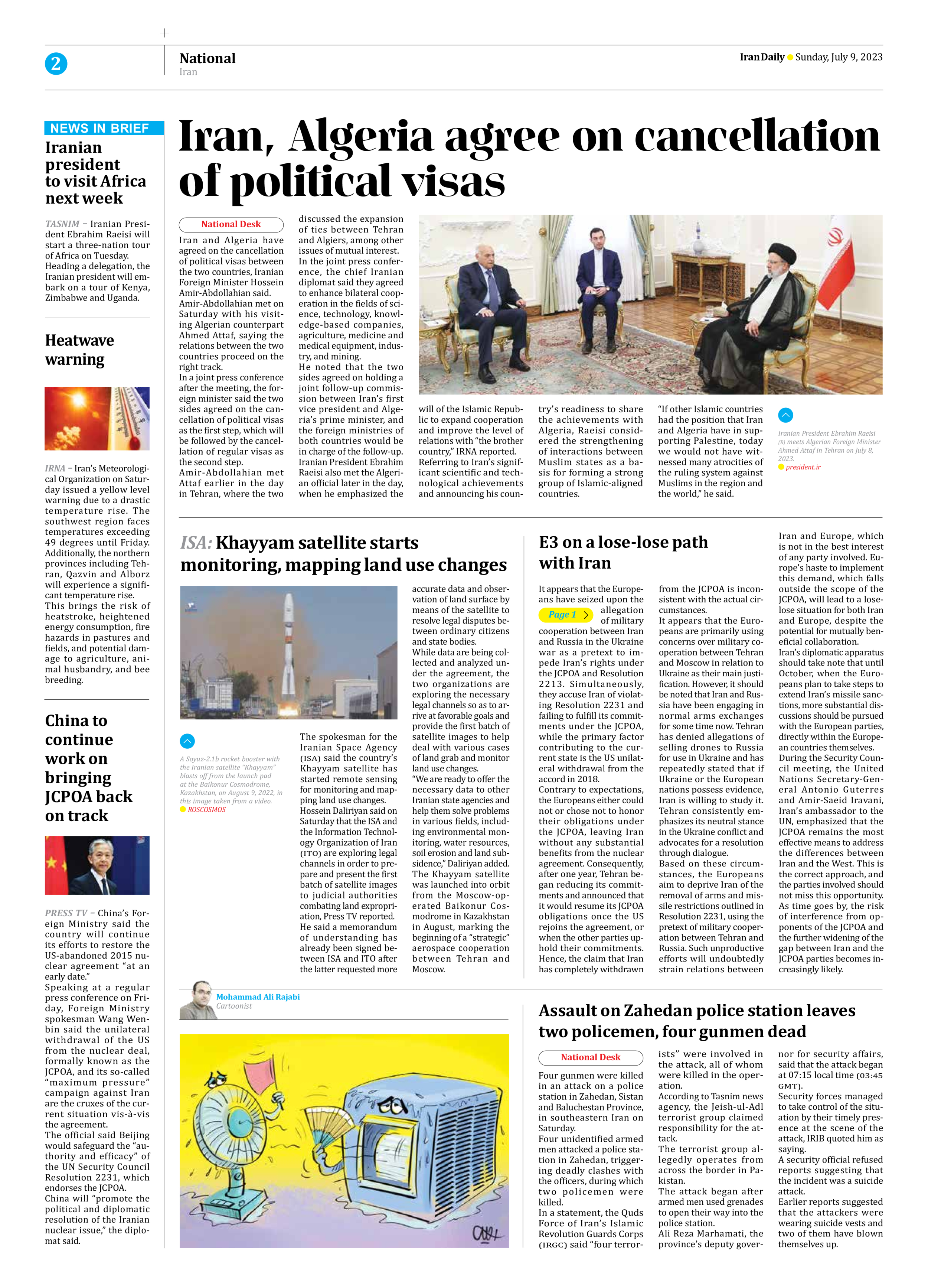
The Khayyam satellite was launched into orbit from the Moscow-operated Baikonur Cosmodrome in Kazakhstan in August, marking the beginning of a “strategic” aerospace cooperation between Tehran and Moscow.