


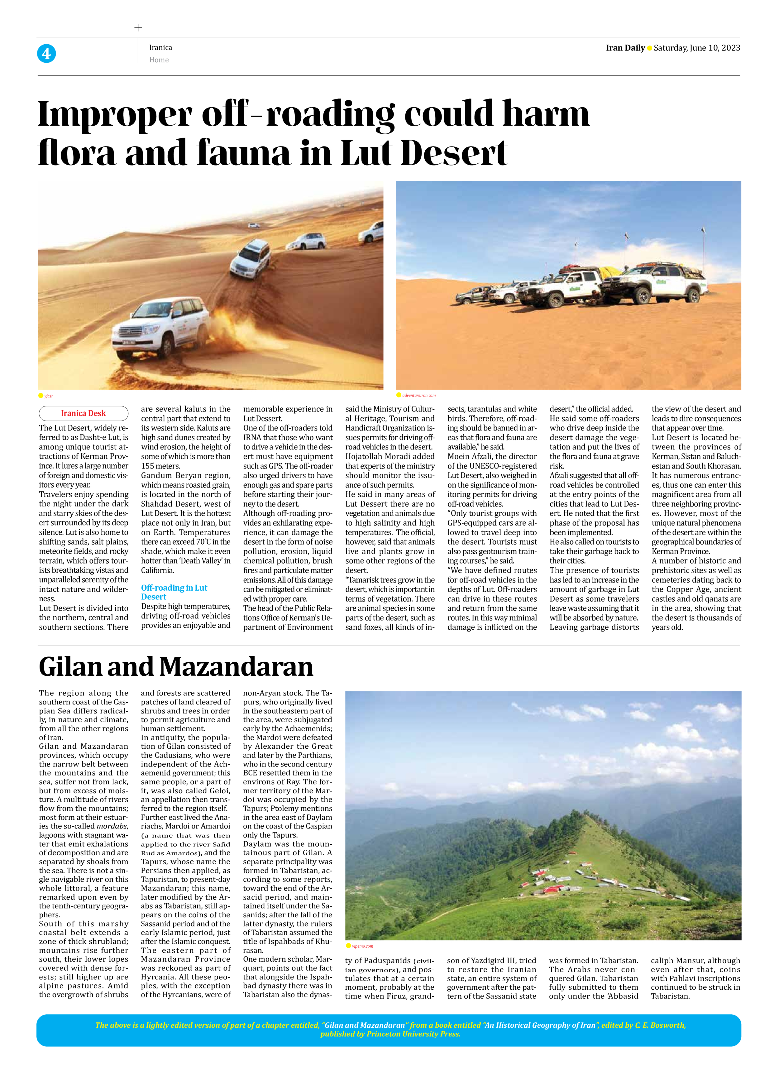


Gilan and Mazandaran
The region along the southern coast of the Caspian Sea differs radically, in nature and climate, from all the other regions of Iran.
Gilan and Mazandaran provinces, which occupy the narrow belt between the mountains and the sea, suffer not from lack, but from excess of moisture. A multitude of rivers flow from the mountains; most form at their estuaries the so-called mordabs, lagoons with stagnant water that emit exhalations of decomposition and are separated by shoals from the sea. There is not a single navigable river on this whole littoral, a feature remarked upon even by the tenth-century geographers.
South of this marshy coastal belt extends a zone of thick shrubland; mountains rise further south, their lower lopes covered with dense forests; still higher up are alpine pastures. Amid the overgrowth of shrubs and forests are scattered patches of land cleared of shrubs and trees in order to permit agriculture and human settlement.
In antiquity, the population of Gilan consisted of the Cadusians, who were independent of the Achaemenid government; this same people, or a part of it, was also called Geloi, an appellation then transferred to the region itself.
Further east lived the Anariachs, Mardoi or Amardoi (a name that was then applied to the river Safid Rud as Amardos), and the Tapurs, whose name the Persians then applied, as Tapuristan, to present-day Mazandaran; this name, later modified by the Arabs as Tabaristan, still appears on the coins of the Sassanid period and of the early Islamic period, just after the Islamic conquest.
The eastern part of Mazandaran Province was reckoned as part of Hyrcania. All these peoples, with the exception of the Hyrcanians, were of non-Aryan stock. The Tapurs, who originally lived in the southeastern part of the area, were subjugated early by the Achaemenids; the Mardoi were defeated by Alexander the Great and later by the Parthians, who in the second century BCE resettled them in the environs of Ray. The former territory of the Mardoi was occupied by the Tapurs; Ptolemy mentions in the area east of Daylam on the coast of the Caspian only the Tapurs.
Daylam was the mountainous part of Gilan. A separate principality was formed in Tabaristan, according to some reports, toward the end of the Arsacid period, and maintained itself under the Sasanids; after the fall of the latter dynasty, the rulers of Tabaristan assumed the title of Ispahbads of Khurasan.
One modern scholar, Marquart, points out the fact that alongside the Ispahbad dynasty there was in Tabaristan also the dynasty of Paduspanids (civilian governors), and postulates that at a certain moment, probably at the time when Firuz, grandson of Yazdigird III, tried to restore the Iranian state, an entire system of government after the pattern of the Sassanid state was formed in Tabaristan. The Arabs never conquered Gilan. Tabaristan fully submitted to them only under the ‘Abbasid caliph Mansur, although even after that, coins with Pahlavi inscriptions continued to be struck in Tabaristan.
The above is a lightly edited version of part of a chapter entitled, “Gilan and Mazandaran” from a book entitled “An Historical Geography of Iran”, edited by C. E. Bosworth,
published by Princeton University Press.