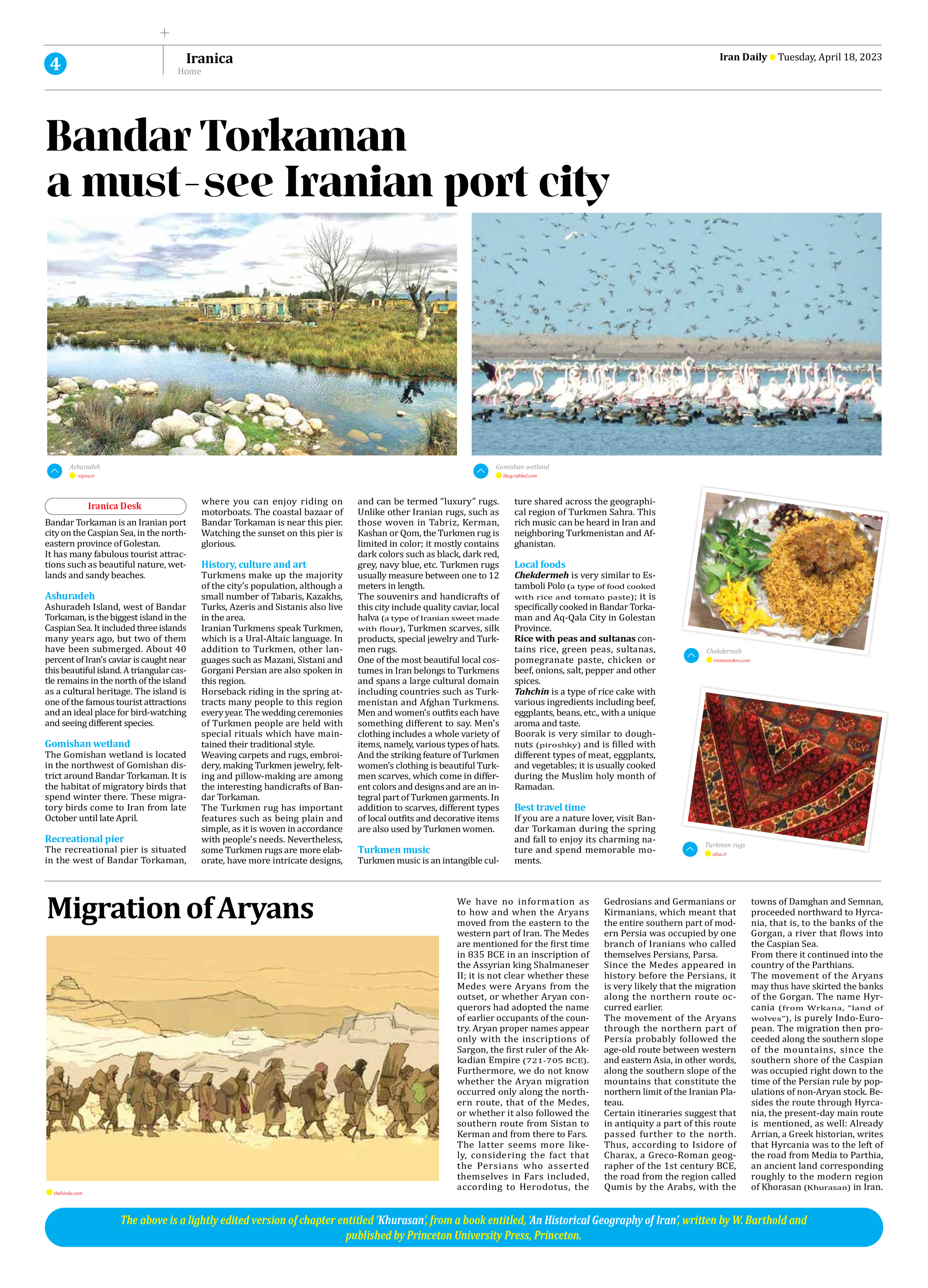
Migration of Aryans
We have no information as to how and when the Aryans moved from the eastern to the western part of Iran. The Medes are mentioned for the first time in 835 BCE in an inscription of the Assyrian king Shalmaneser II; it is not clear whether these Medes were Aryans from the outset, or whether Aryan conquerors had adopted the name of earlier occupants of the country. Aryan proper names appear only with the inscriptions of Sargon, the first ruler of the Akkadian Empire (721-705 BCE). Furthermore, we do not know whether the Aryan migration occurred only along the northern route, that of the Medes, or whether it also followed the southern route from Sistan to Kerman and from there to Fars.
The latter seems more likely, considering the fact that the Persians who asserted themselves in Fars included, according to Herodotus, the Gedrosians and Germanians or Kirmanians, which meant that the entire southern part of modern Persia was occupied by one branch of Iranians who called themselves Persians, Parsa.
Since the Medes appeared in history before the Persians, it is very likely that the migration along the northern route occurred earlier.
The movement of the Aryans through the northern part of Persia probably followed the age-old route between western and eastern Asia, in other words, along the southern slope of the mountains that constitute the northern limit of the Iranian Plateau.
Certain itineraries suggest that in antiquity a part of this route passed further to the north. Thus, according to Isidore of Charax, a Greco-Roman geographer of the 1st century BCE, the road from the region called Qumis by the Arabs, with the towns of Damghan and Semnan, proceeded northward to Hyrcania, that is, to the banks of the Gorgan, a river that flows into the Caspian Sea.
From there it continued into the country of the Parthians.
The movement of the Aryans may thus have skirted the banks of the Gorgan. The name Hyrcania (from Wrkana, “land of wolves”), is purely Indo-European. The migration then proceeded along the southern slope of the mountains, since the southern shore of the Caspian was occupied right down to the time of the Persian rule by populations of non-Aryan stock. Besides the route through Hyrcania, the present-day main route is mentioned, as well: Already Arrian, a Greek historian, writes that Hyrcania was to the left of the road from Media to Parthia, an ancient land corresponding roughly to the modern region of Khorasan (Khurasan) in Iran.
The above is a lightly edited version of chapter entitled ‘Khurasan’, from a book entitled, ‘An Historical Geography of Iran’, written by W. Barthold and
published by Princeton University Press, Princeton.


